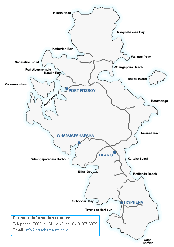
Great Barrier Maps
Great Barrier Island is about 90 kilometres Northeast of Auckland in the outer Hauraki Gulf, and the largest North Island offshore island.
The island is about 40 kilometres long 15 kilometres wide and provides protection to the Hauraki Gulf - hence its name.
Those planning on tramping are advised to use topographical maps obtainable through the Department of Conservation on +64 379 64 76 or email: aucklandvc@doc.govt.nz
Department of Conservation Map
The Department of Conservation does a wonderful job on Great Barrier Island ensuring that this pristine environment stays that way. Their map is also an essential travel item for all those wishing to explore the island.
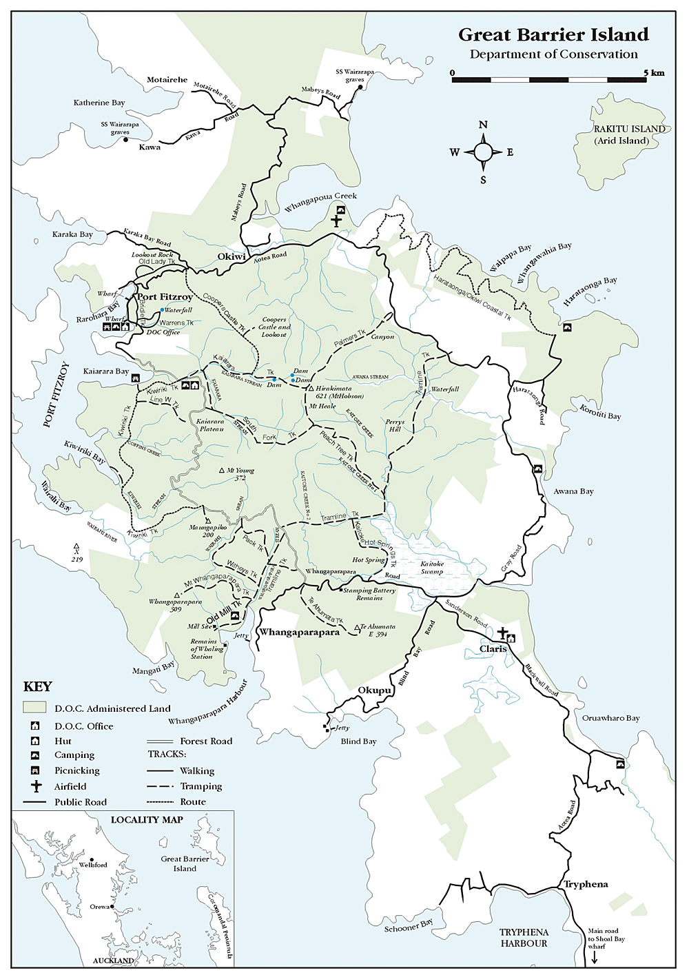 View Map as Image | View Map as PDF
 ![]()
NB: This map is intended as a guide only.